World
Atlas
land:
water:
highest point: Grande l'Ostel 1,269 m
Euro:
1985
- North America
- Dr Kananga Profile
- Live and Let Die Mission
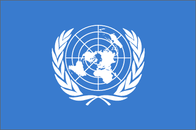
- United Nations
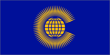
- British Commonwealth

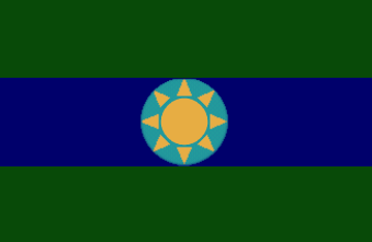
San Monique Flag
San Monique Passport
|
World |
|
Atlas |
||
| San Monique | ||||
| Contents | ||||
|
|
||||
| General | ||||
| Capital: | San Monique | |||
| Population: | 7,500 | |||
| Languages: | English, French, Creole | |||
| National Days: | 7th December | |||
| Head of State: | Pierre Martin | |||
| Geographic | ||||
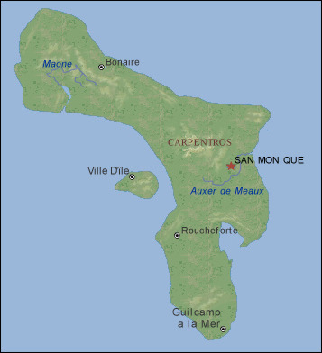
| Location: | Two small islands in the Bahamas, south of <Bahaman island> and North East of the Dominican Republic. | |||
| Geographic Coordinates: | ||||
| Area: | total:
land: water: |
|||
| Border Countries: | None. | |||
| Climate: | tropical; mostly warm, muggy days with the occasional heavy shower. Governed by the wind from the Gulf of Mexico. | |||
| Terrain: | Largely flat landscape with some low mountains. Thick forest in places and lots of beach in others. | |||
| Elevation Extremes: | lowest
point: Le Merchaunt -7 m
highest point: Grande l'Ostel 1,269 m |
|||
| Natural Hazards: | Tropical Storms. | |||
| c | ||||
| Economic | ||||
| GDP: | $4.27 million | |||
| Debts: | £1 million United Kingdom | |||
| Currency: | US Dollar | |||
| Currency Code: | USD | |||
| Rough Exchange Rates: | Pound
Sterling: 1.53
Euro: |
|||
| c | ||||
| Historic | ||||
| 1492 | Discovered by Columbus | |||
| 1513 | Seized from Spanish by French | |||
| 1763 | Captured by British from French | |||
| 1763-1845 | British Control | |||
| 1845-1852 | War of Independence | |||
| 7th December 1853 | Independent Republic | |||
| 1943 | British Allowed back into San Monique | |||
| 1964 | San Monique join the British Commonwealth | |||
|
1985 |
San Monique Join the United Nations | |||
| c | ||||
| Map | ||||
|
|
||||
| c | ||||
| Related Articles | ||||
|
||||
| Archived Media | ||||
|
|
|
||
|
San Monique Flag |
San Monique Passport |
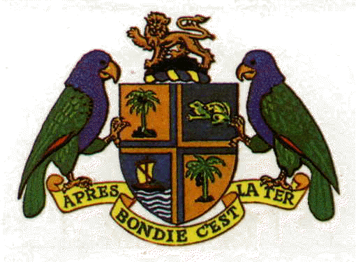
OAS Flag | San Monique Coat of Arms | |
|
|
|
||
| Political Map | Commonwealth Flag | UN Flag | Physical Map | |
| c | ||||